Explore
Featured
Recent
Articles
Topics
Login
Upload
Featured
Recent
Articles
Topics
Login
Upload
Search Results for 'spectral image'
spectral image published presentations and documents on DocSlides.
Real-Time Image Analysis of Iron Ore
by jane-oiler
Cores and Drill Chips. to Complement Spectral Mea...
Various Change Detection Analysis Techniques
by calandra-battersby
Broadly Divided in Two Approaches …... Post Cla...
Remote Sensing
by luanne-stotts
for Geologic Mapping and Analysis. Using spatial ...
Sparsity and Saliency
by stefany-barnette
Xiaodi. . Hou. K-Lab, Computation and Neural Sys...
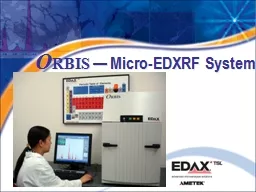
O RBIS
by calandra-battersby
— Micro-EDXRF System. XRF Advantages. Non-dest...
RESEARCH ARTICLES CURRENT SCIENCE VOL
by alexa-scheidler
10 NO 1 10 JANUARY 201 40 For correspondence e m...
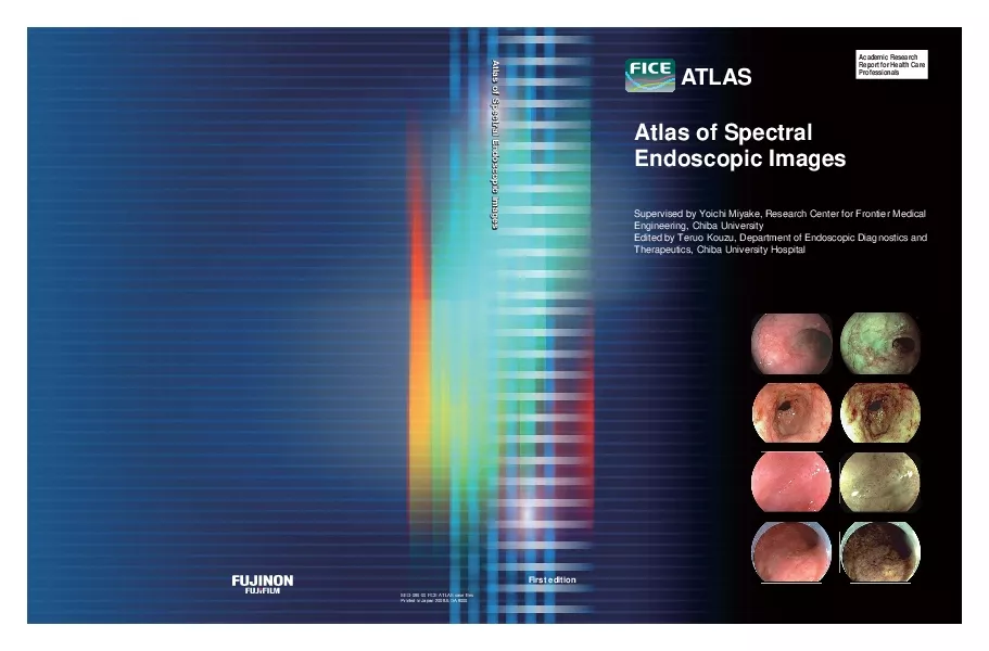
Supervised by Yoichi Miyake Research Center for Frontier MedicalEngine
by lydia
SEG-086-00 FICE ATLAS case filesFirst editionAcade...
Subpixel Measurement of Mangrove Canopy Closure from High Resolution RS Imagery
by stefany-barnette
Subpixel Measurement of Mangrove Canopy Closure...
Remote Sensing
by tatyana-admore
Hyperspectral Imaging. AUTO3160 – Optics. Staff...
Resolution Landsat ETM image
by danika-pritchard
Learning Objectives. Be able to name and define t...
A Basic Introduction to Remote Sensing (RS)
by calandra-battersby
Rev. Ronald J. Wasowski, C.S.C.. Associate Profes...
Photonics West February 3, 2013 Brian C. Smith, Ph.D. ,Princeton Instruments Jason McClure, Ph.D. Princeton Instruments Dan Heller, Ph.D. Memorial Sloan-Kettering Cancer Center Ed Gooding, Ph.D. Princeton Instruments
by everett673
Brian C. Smith, Ph.D. ,Princeton Instruments . Jas...
Image Priors and Optimization Methods for Low-level Vision
by luanne-stotts
Dilip. . Krishnan. Depth Qualifying Examination ...
Digital Remote Sensing
by lindy-dunigan
The Digital Realm. Orbital characteristics of sen...
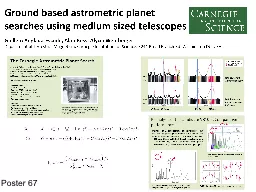
Poster 67
by giovanna-bartolotta
A PHOTOMETRIC TRANSIT SEARCH FOR PLANETS AROUND C...
Locality Sensitive Hashing and Large Scale Image Search
by tatiana-dople
Yunchao. Gong. UNC Chapel Hill. yunchao@cs.unc.e...
Spectral Demons Image Registration via Global Spectra
by phoebe-click
Image registration is a building block for many a...
UVIS calibration update
by tatyana-admore
Greg Holsclaw, Bill McClintock. June 18, 2012. Br...
by doggcandy
. Deep learning for low resolution hyper spectral ...
FICE is based on a Spectral Estimation Technology a technology invent
by skylar
The Principal and Flow Chart of F.I.C.E. ImagingMi...
The VLA Sky Survey – data products and science results
by ash
Mark Lacy, NRAO. VT1210+4956: merger-driven supern...
Automated Tree-Crown Delineation Using
by mitsue-stanley
Photogrammetric Analyses. Austin . Pinkerton * an...
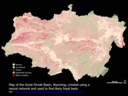
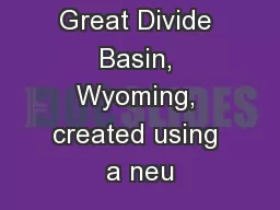
Map of the Great Divide Basin, Wyoming, created using a neu
by stefany-barnette
See: . http://earthobservatory.nasa.gov/IOTD/vie...
Wideband Imaging and Measurements
by calandra-battersby
Astronomy and space science. Jamie Stevens . | ...
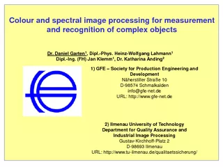
Colour and spectral image processing for measurement
by alida-meadow
and recognition of complex objects Dr. Daniel Gar...
Map of the Great Divide Basin, Wyoming, created using a neu
by celsa-spraggs
See: . http://earthobservatory.nasa.gov/IOTD/vie...
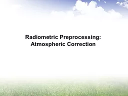
Radiometric
by giovanna-bartolotta
Preprocessin. g: Atmospheric Correction. . “Co...
Classification of Remotely Sensed Data
by mitsue-stanley
General Classification Concepts. Unsupervised Cla...
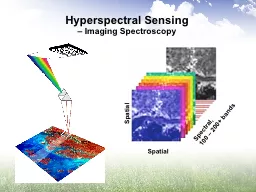
Spectral, 100 – 200+ bands
by alexa-scheidler
Spatial. Spatial. Hyperspectral Sensing . – Ima...
Tradeoffs and Limits in
by marina-yarberry
Computational . Imaging. Oliver . Cossairt. PhD. ...
Structured
by natalia-silvester
sparse acoustic modeling for speech separation. A...
Introduction to Remote Sensing of the Environment
by alida-meadow
Bot/. Geog. 4111/5111. Ken Driese. Dept. of Bota...
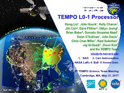
TEMPO L0-1 Processor
by calandra-battersby
Xiong . Liu. 1. , . John . Houck. 1. , Kelly Chan...
Classification of Remotely Sensed Data
by tatiana-dople
General Classification Concepts. Unsupervised Cla...
Compressive spectral anomaly detection
by aaron
Vishwanath Saragadam . , Jian Wang, . Xin Li, . A...
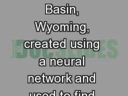
Map of the Great Divide Basin, Wyoming, created using a neural network and used to find likely foss
by giovanna-bartolotta
See: . http://earthobservatory.nasa.gov/IOTD/vie...
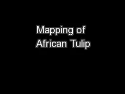
Mapping of African Tulip
by conchita-marotz
with WorldView-2. Image Data. Litia. . Gaunavou....
Advanced classifiers Decision trees
by tatiana-dople
Object-based classifiers. Others. DECISION TREES....
Acknowledgments Koutis is partially supported by NSF CCF-1018463. and UPRRP seed funds.
by jane-oiler
R. Garcia is supported by an NSF Bridge to the Do...
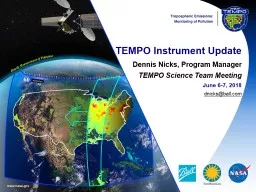
TEMPO Instrument Update
by breezeibm
Dennis Nicks, Program Manager. TEMPO Science Team ...
Load More...